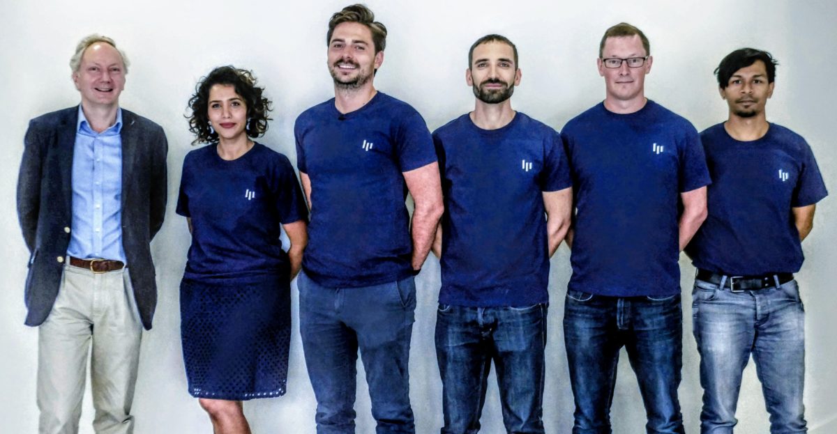
LGN is an edge AI company for autonomous systems.
We develop AI that helps autonomous systems see like us – bringing human-level perception into embedded hardware. Our technology has a broad application range including autonomous vehicles and smart surveillance.
This project focusses on the high-value drone market. We use higher resolution data from drones to upscale low-resolution data from satellites. We call our product “Hyper Res Maps+”, echoing the headline-making “Super Res Zoom” feature on the Google Pixel 3.
USP
LGN combines high-bandwidth sensor data and improve perception within bandwidth constraints.
Target market
Autonomous vehicles, mapping and smart surveillance.
Space connection
Use of satellite imagery at various resolutions.
