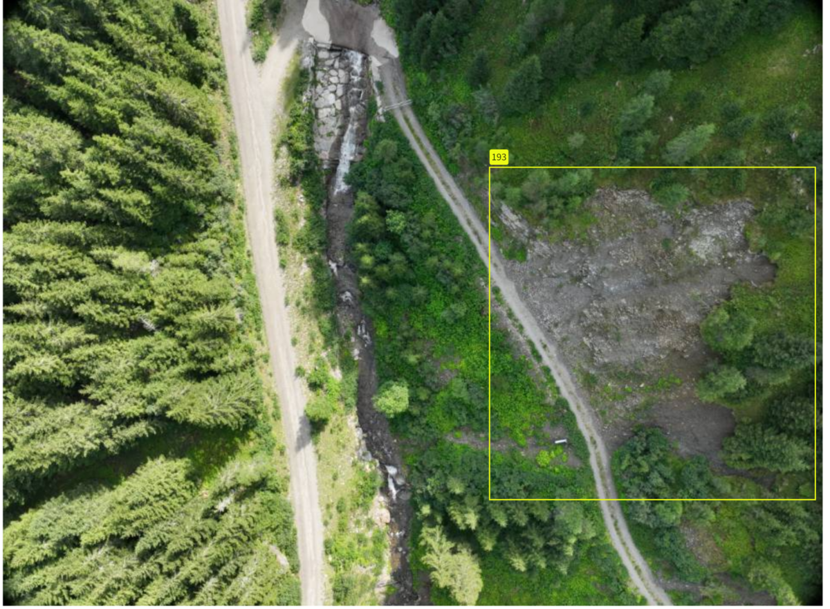
Natural disasters occur every year, causing considerable damage and even loss of life. As people that have been actively involved in disaster relief operations for many years, we have set ourselves the goal of using technology to make a proactive contribution to preventing such disasters.
Through AI-supported evaluation of aerial photographs, especially in difficult-to-access alpine areas, we make an active contribution to disaster prevention by proactively identifying damage such as landslides, wind breakage, etc. and providing the responsible authorities with the key data required to eliminate them, such as extent, severity, exact geographical location and much more, in an automatically generated report.
This means that it is possible to prevent the accumulation of problems in advance through knowledge and derived action and thus make a significant contribution to the active protection of the population as well as fauna and flora.

USP
The interaction of current aerial images with automated, AI-supported analysis and derived recommendations for action creates the conditions for proactive measures in the shortest possible time.
Target market
Our target market primarily includes municipalities, regions, and districts, as well as governmental organizations (GOs) and non-governmental organizations (NGOs) related to disaster protection and disaster relief, especially in the inner-Alpine countries.
Space connection
The availability of high-resolution, up-to-date satellite images allows for regular analysis of landscape changes and their documentation through time series comparison. Wherever the data quality of the satellite images is insufficient, the gap can be bridged by the supplementary use of (unmanned) aerial vehicles for aerial photography.
Team

Jürgen Bauer